Saudi GPR and subsurface investigation case studies.
Browse Saudi case studies covering GPR surveys, utility mapping, concrete scanning and subsurface investigation, with technical context and relevant field imagery.
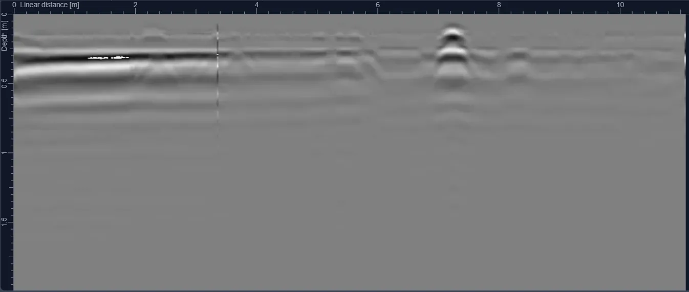
Jeddah Chemical Laboratory GPR Site Investigation
A confidential Jeddah laboratory-related GPR assignment focused on scanning selected work areas and reporting subsurface anomalies for engineering coordination.
View case study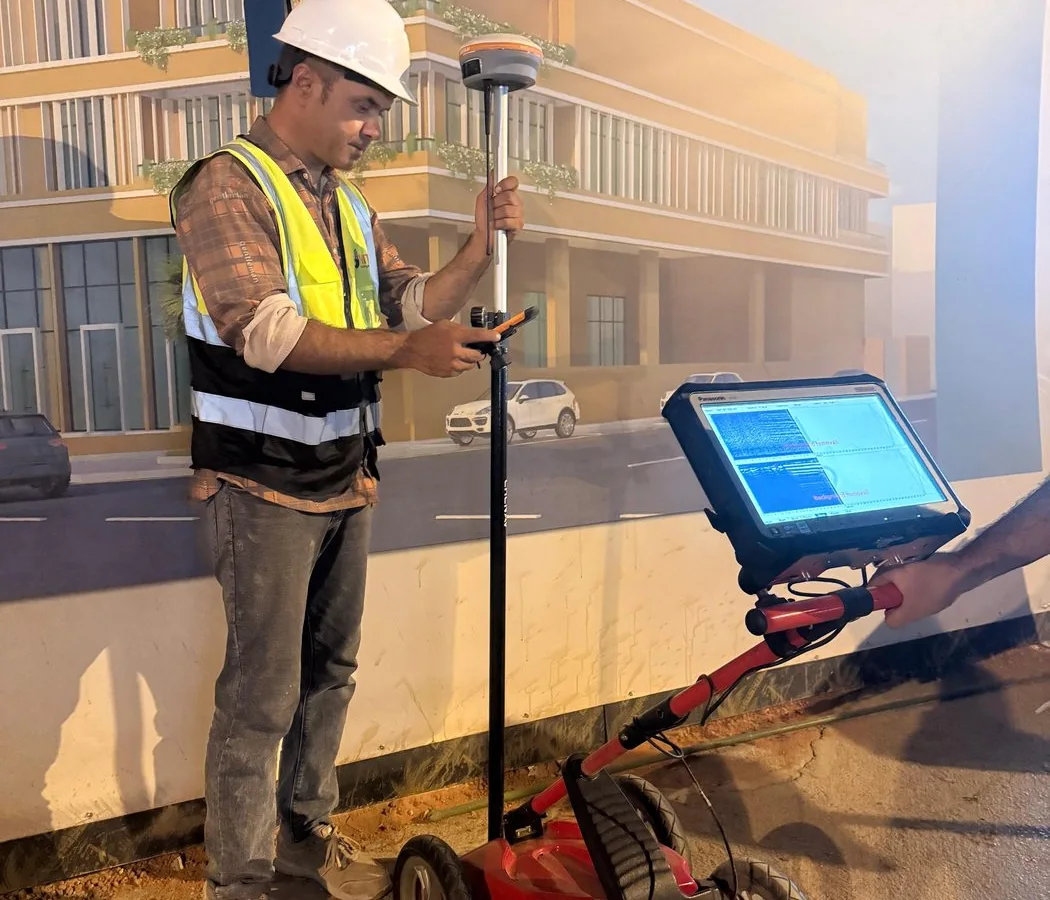
NCMS Test Cell GPR and Utility Detection in Al Kharj
Targeted ground penetrating radar investigation for a controlled test-cell workfront in Al Kharj, with staged sector planning before intrusive work.
View case study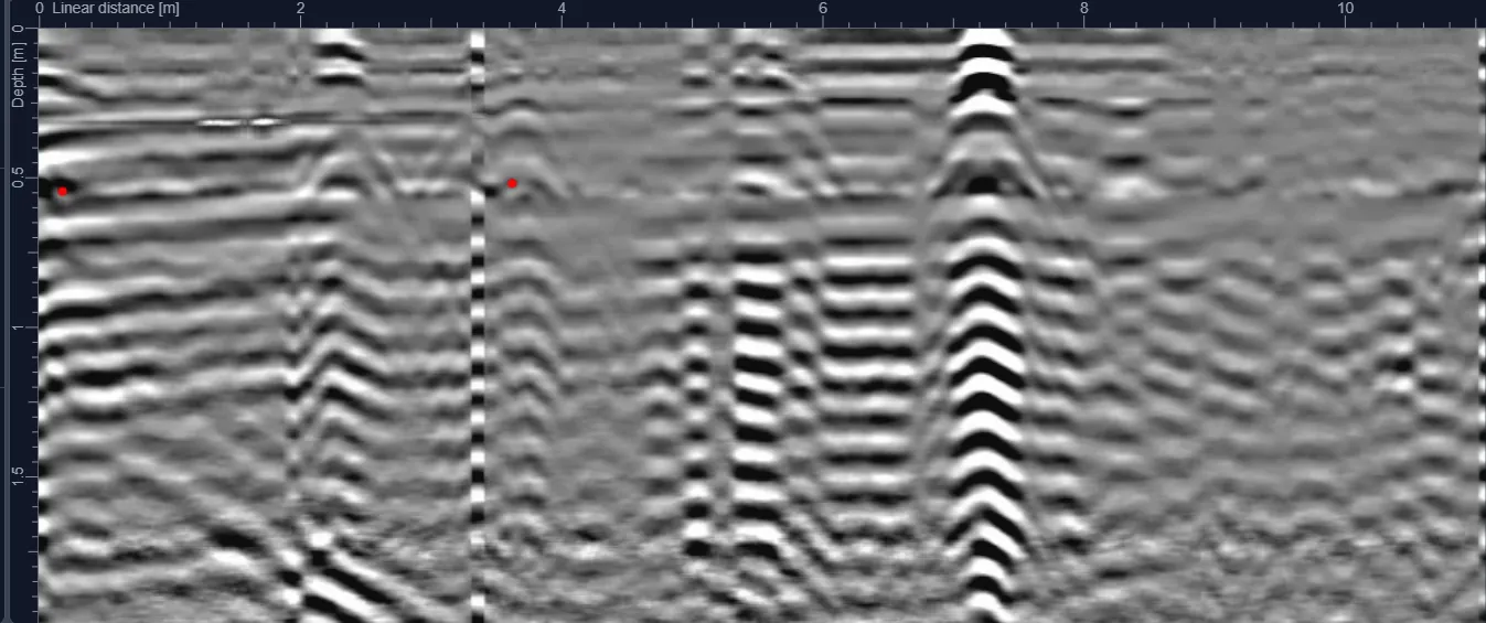
Aziziyah Fruit & Vegetable Market GPR Survey — Riyadh
A market-site underground investigation reference in Aziziyah, Riyadh, illustrating the challenges of surveying active commercial environments.
View case study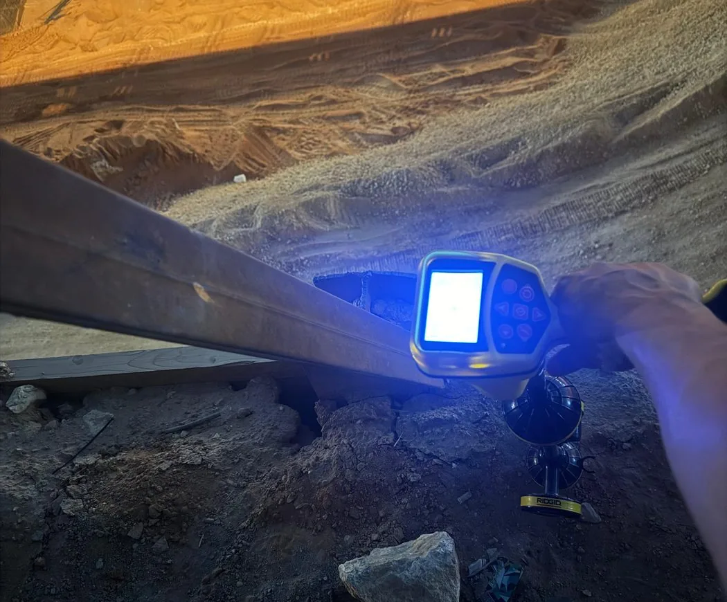
Night-Shift Underground Utility Detection — Riyadh
A Riyadh night-work survey reference focused on underground utility-risk review where daytime site access or traffic controls are constrained.
View case studyZain Fiber Underground Utility Detection — Hafr Al Batin
A utility detection assignment supporting fibre infrastructure works in the Hafr Al Batin area, focused on reducing excavation conflict with existing buried services.
View case studyRadio Detection for Underground Power Cable Route Tracing
A targeted underground cable-tracing assignment using a radio/electromagnetic locator to help define a buried service route before further site intervention.
View case studyUrban Corridor Underground Utility Mapping — Riyadh
A Riyadh urban-corridor case reference for coordinating GPR and utility interpretation in dense roadside and built-up infrastructure.
View case study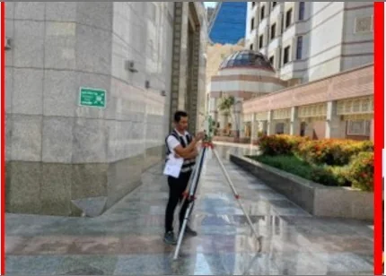
King Salman Airport Underground Utility Detection — Riyadh
An underground utility-detection project reference associated with the King Salman airport development workfront in Riyadh.
View case studyJeddah Warehouse Underground Utility Detection Survey
A warehouse-area GPR and subsurface anomaly investigation reference in Jeddah, supporting construction and maintenance planning.
View case studyNEOM 45 km GPR Corridor Survey and Utility Risk Assessment
A phased GPR utility-risk investigation along 45 km of the NEOM corridor, combining field survey, subsurface interpretation and engineering-ready reporting to help plan subsequent works.
View case study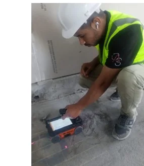
Riyadh Helipad Concrete Scanning & Coring Clearance
Targeted structural scanning at a Riyadh helipad to support safe coring by locating reinforcement and embedded features before drilling.
View case study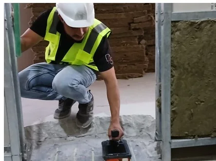
KAFD Concrete Scanning and Rebar Detection — Riyadh
Targeted high-frequency concrete scanning and reinforcement-location reference for work areas within a KAFD building environment.
View case studyAlmarai Al Kharj Underground Utility Detection
An industrial-site subsurface survey reference at Al Kharj focused on mapping suspected buried services and anomalies for workfront decisions.
View case studyShift Clinic Post-Tension Cable Detection — Riyadh
A high-frequency concrete radar investigation in Riyadh focused on possible post-tension cable and embedded reinforcement positions before intrusive work.
View case studySaudi–Oman Border Hidden Manhole Investigation
A multi-method subsurface investigation for concealed manhole infrastructure in a remote border corridor, integrating geophysical evidence with intrusive verification where required.
View case studyTakamil Tower Concrete Scanning & Coring Clearance
High-resolution concrete scanning performed before coring works to identify reinforcement and embedded hazards, helping the construction team select safer drilling locations.
View case studyAl Kharj GPR Underground Utility Survey
A deep GPR investigation in Al Kharj focused on mapping subsurface anomalies and utilities across a 3,000 m² work area with investigation targets extending to approximately 6 m where ground conditions allowed.
View case studyAmanah Riyadh Underground Utility Detection Survey
A medium-scale municipal utility investigation in Riyadh completed under a compressed programme. The survey combined systematic GPR coverage with utility interpretation and engineering mapping to reduce excavation risk.
View case studyAl Babtain Underground Utility Survey
A structured GPR utility survey over a 7,800 m² project area using a 3 m grid to investigate buried service corridors and support safe construction planning.
View case studyKAFD Tower Underground Utility Survey
Targeted underground utility detection around a KAFD tower environment, designed to support construction coordination in a dense, high-value urban infrastructure setting.
View case studyQiddiya Guardrail Post Integrity Testing
Dynamic integrity testing across the guardrail network serving a major Qiddiya roadway environment, verifying structural response and embedment performance before operation.
View case studyMa’aden Al-Qassim Underground GPR & Route Verification
A combined underground GPR and topographic route verification programme for Ma’aden covering five routes, with utility positioning, calibration records and structured engineering deliverables.
View case studyRemote Ground Penetrating Radar Survey in Hafr Al Batin
A GPR survey carried out in a remote Hafr Al Batin field setting, with particular attention to access, antenna coupling, surface conditions and interpretation limits.
View case study