Site context and engineering objective
A wholesale produce-market environment can have hardstanding, loading areas, operational constraints and buried electrical, water and drainage networks. The priority is to structure a non-destructive investigation without interrupting critical access.
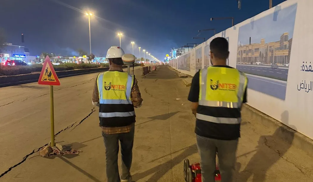
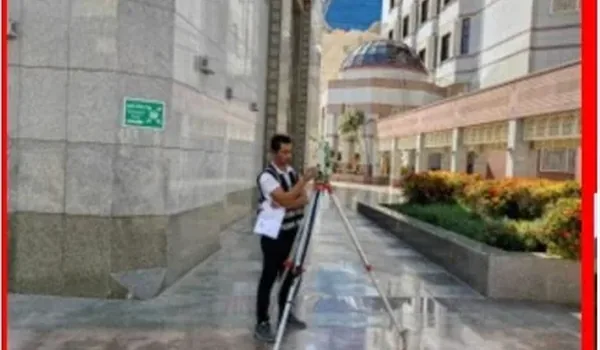
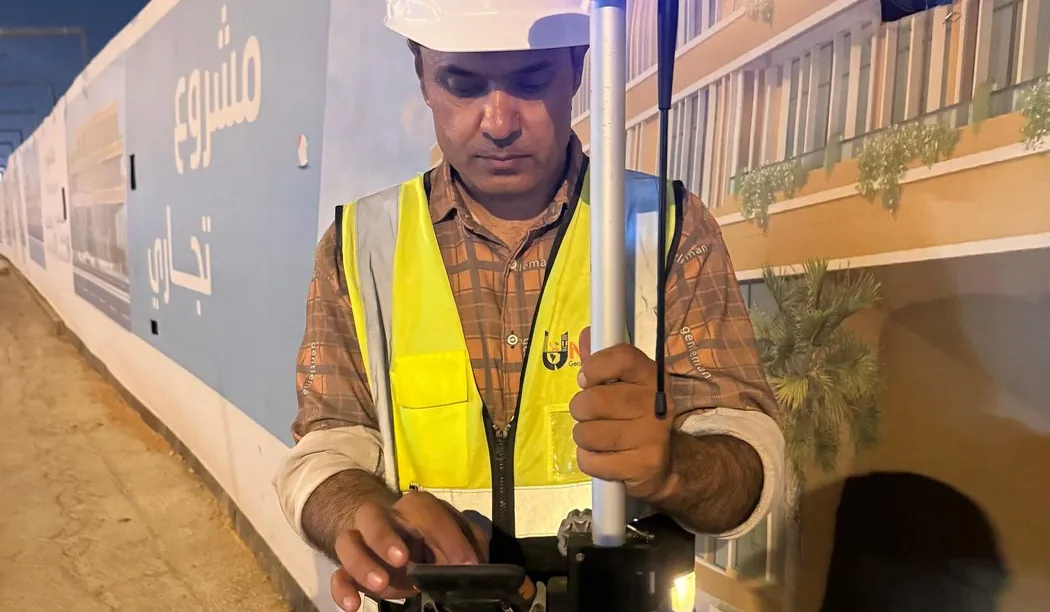
A market-site underground investigation reference in Aziziyah, Riyadh, illustrating the challenges of surveying active commercial environments.
Field approach and interpretation
- Coordinate the scan schedule around vehicle, pedestrian and loading activity, and confirm safe access to work areas.
- Use repeat GPR passes and available utility records to investigate candidate buried routes and possible intersections.
- Distinguish interpreted responses from verified services and set out priority locations for further confirmation.
Important limitations
Congested service corridors, reinforcement and variable surface materials can create ambiguous radar responses. Critical excavation crossings still need physical verification.
The depth and confidence of GPR interpretation vary with soil electrical properties, moisture, surface structure, reinforcement and target geometry. A non-destructive survey cannot guarantee that every buried service or embedded hazard has been found.
How this information supports site decisions
The practical purpose is to reduce uncertainty by identifying interpreted targets and zones that merit checks against records or controlled exposure. The issued technical report, not this public overview, determines the actual workfront, deliverables and verified findings.
Ground penetrating radar surveys · Planning before excavation