How to structure utility detection before excavation, horizontal directional drilling and trenching in Saudi infrastructure projects.
Key principle: The right investigation is the one that reduces uncertainty around a defined engineering decision. GPR and other methods should be selected and reported with their limitations, not marketed as universal detection tools.
Why records are not enough
Utility drawings can be incomplete, generalized or out of date. A pre-excavation survey adds current field evidence but should still be treated as one layer in a broader safe-dig process.
Use complementary detection methods
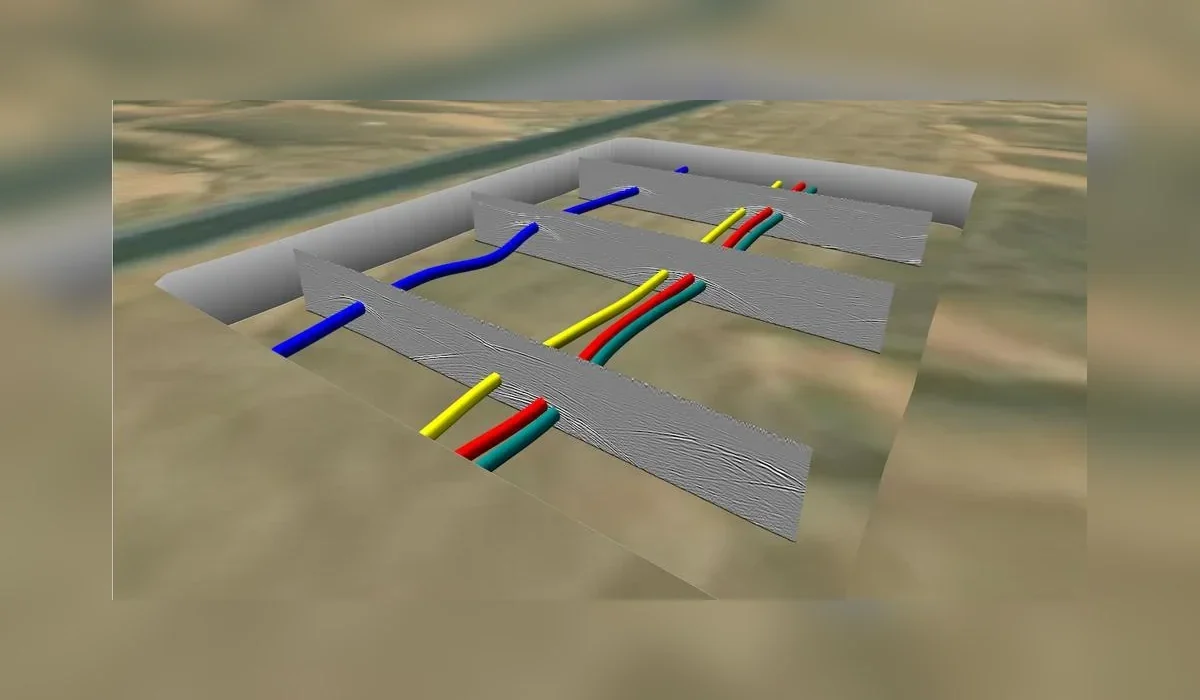
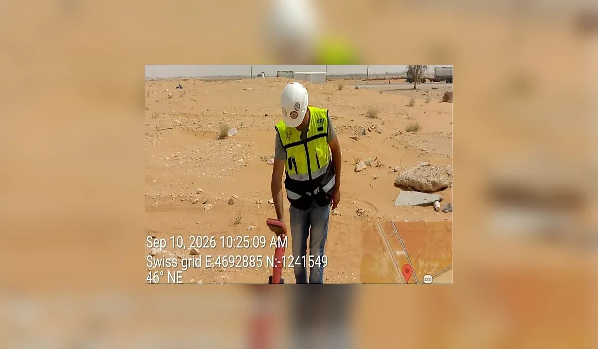
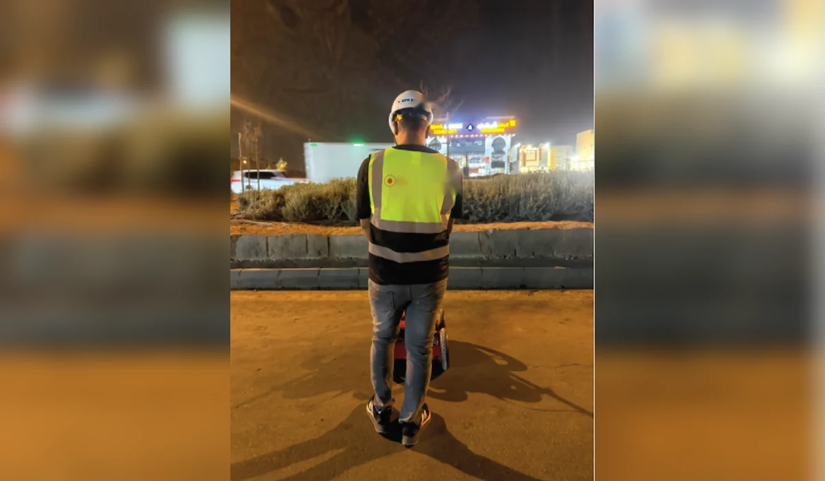
Electromagnetic locating is efficient for many conductive or traceable services. GPR can indicate additional features, including some non-metallic utilities and trench disturbances. Surface features and record review provide essential context.
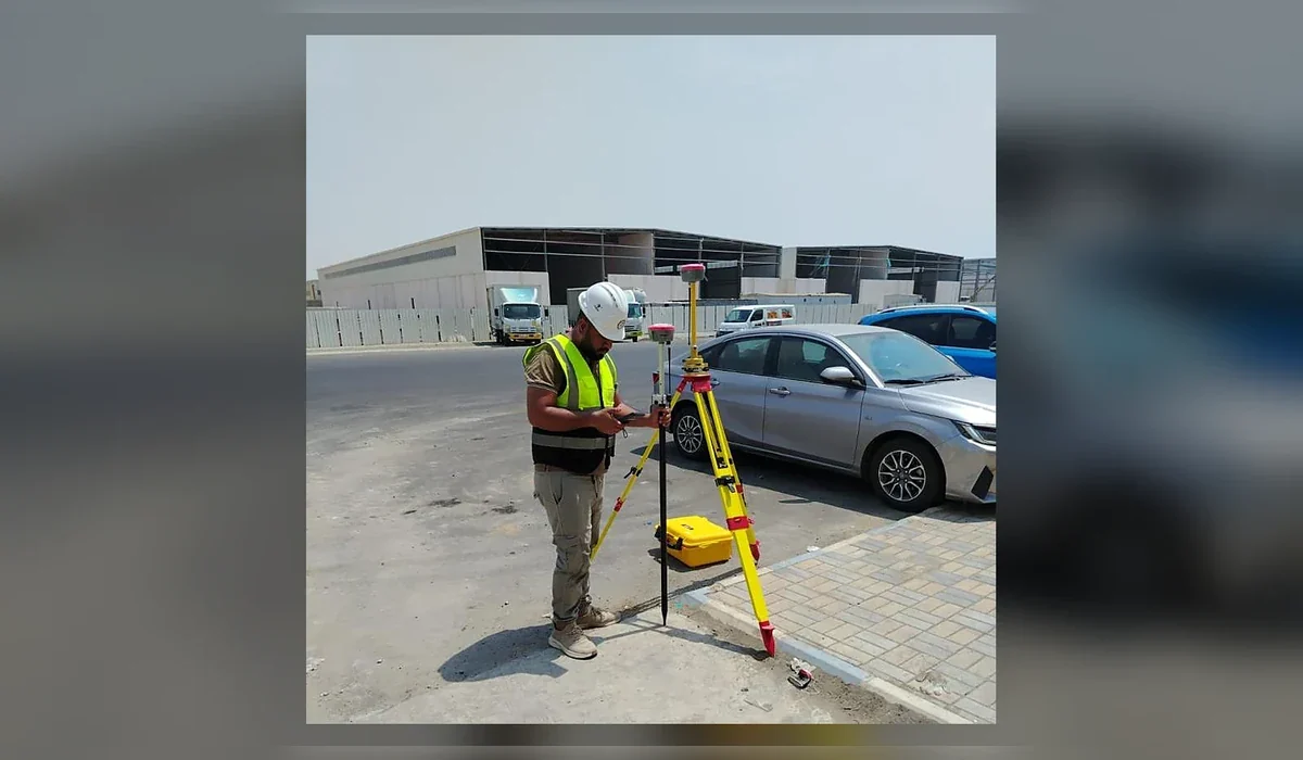
Survey control matters
For engineering coordination, interpreted utilities should be positioned in the project coordinate system where required. This allows route conflicts to be reviewed in CAD or GIS rather than relying only on paint marks.
Depth is not a guarantee
Geophysical depth estimates depend on signal behaviour and site conditions. Critical crossings should be verified using project-approved methods before intrusive work proceeds.
HDD and high-consequence crossings
Horizontal drilling can create risk beyond the immediate entry point. The investigation corridor should reflect the planned bore path, steering tolerance, depth profile and utilities that could be affected.
Plan the survey around the decision
Before mobilization, define the site limits, required outputs and what will happen after the survey. If an interpreted feature could change an excavation, drilling or design decision, agree in advance how that feature will be verified. This creates a defensible workflow and avoids treating a geophysical interpretation as absolute proof.