Saudi Arabia · Riyadh · Jeddah · Eastern Province · NEOMProject enquiries · Secure request form
Case study · Hafr Al Batin

Zain Fiber Underground Utility Detection — Hafr Al Batin

Underground utility detection supporting fibre infrastructure works in the Hafr Al Batin / Qaisumah area, focused on reducing excavation conflict with existing buried services before telecom construction.

LocationHafr Al Batin
ServiceUnderground Utility Detection
ScopeTelecom corridor
Depth / targetProject-specific
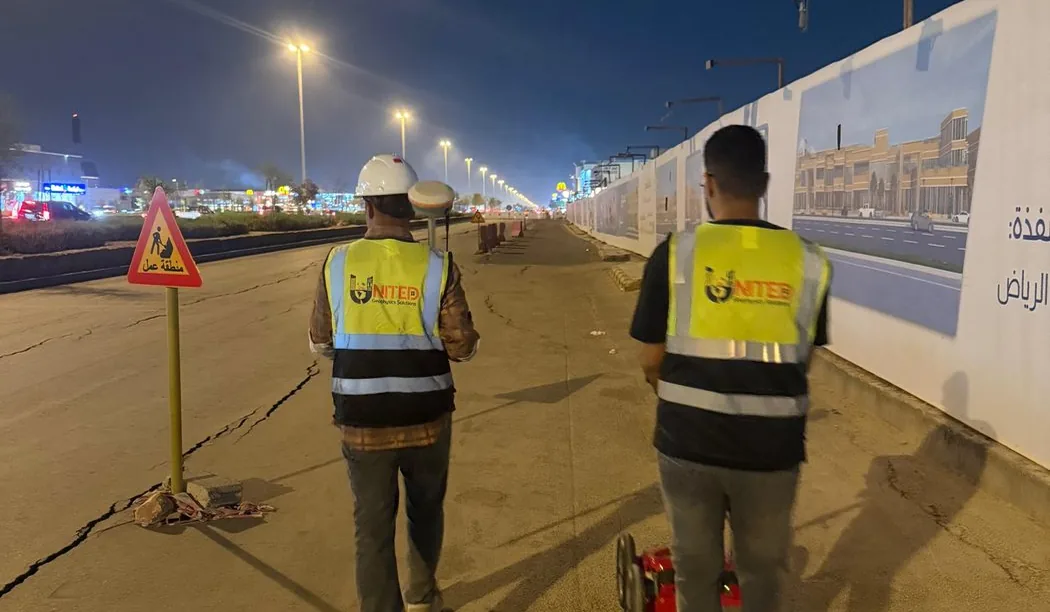
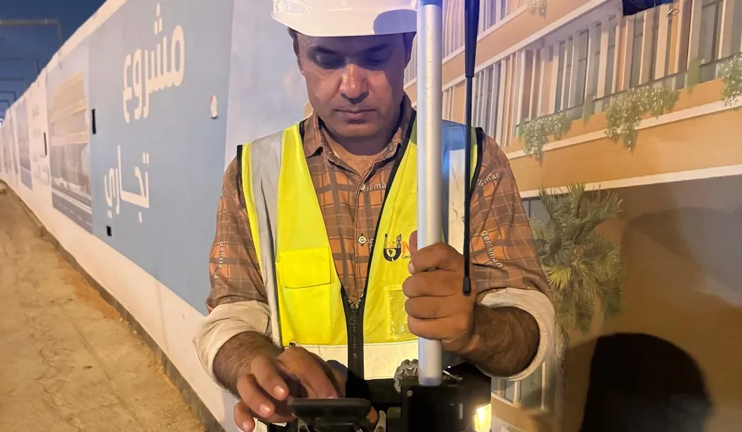
Technical field reference photo (not verified at this site)
Field reference photo (illustrative)
Project context

Why this investigation mattered

Telecom corridor work often follows long, narrow routes where a single utility conflict can stop trenching or damage critical infrastructure. Existing records may not show every crossing, abandoned service or route deviation.

The investigation therefore needed to concentrate on corridor risk rather than producing a generic site scan. The value came from identifying relevant crossings and subsurface features in the path of planned fibre works and presenting them in a form the construction team could use.

Investigation strategy

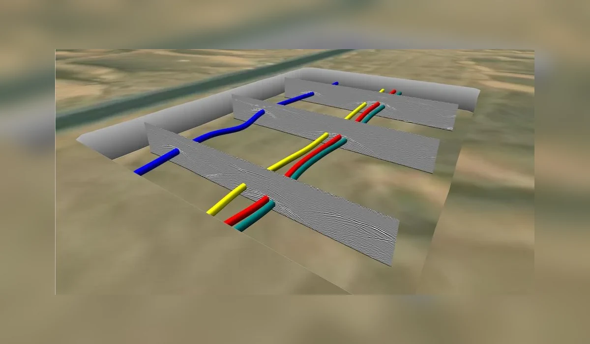
Survey coverage followed the project corridor and focused on areas of planned ground disturbance. GPR interpretation was used to identify utility-like linear features and crossings, with locating workflows applied as appropriate to the available site information and target type.

Results were organized around construction relevance: route position, crossing risk, depth where technically supportable and areas requiring additional caution or verification.
Field-to-report workflow

How the project information was developed

The workflow is documented so the case study provides engineering context—not just a marketing summary.

  1. 01
    Review the planned fibre route and available utility information.
  2. 02
    Prioritize crossings, access points and high-risk excavation zones.
  3. 03
    Collect corridor-focused subsurface data.
  4. 04
    Interpret utility-like responses and route continuity.
  5. 05
    Issue engineering drawings/reporting for construction planning and safe excavation.

Interpretation and engineering use

By focusing the investigation on the proposed fibre work corridor, the project helped reduce the chance of avoidable utility strikes and gave the construction team a clearer basis for controlled excavation and crossing management.

Quality control

  • Corridor coverage tied to the planned ground-disturbance zone.
  • Crossings reviewed for continuity and construction relevance.
  • Depth information qualified according to signal confidence.
  • Uncertain features retained as cautionary information rather than omitted.

Project deliverables

  • Corridor survey coverage record.
  • Interpreted buried utility / crossing information.
  • Depth annotations where supportable.
  • Engineering drawing information.
  • Technical report with findings and limitations.

Technical limitations

Utility detection cannot guarantee identification of every buried service. Non-metallic targets, weak radar contrast, deep burial, congested corridors and conductive ground can reduce confidence. Safe excavation and verification procedures remain required.

Project FAQ

Questions this case study answers

What type of project was this?

An underground utility detection assignment supporting fibre infrastructure works in the Hafr Al Batin / Qaisumah area.

Why survey a fibre corridor before excavation?

To identify existing buried services and crossings that could conflict with trenching or other ground disturbance.

Are all utility depths exact?

No. Depth values are interpreted and should only be reported where the data support them.

Plan before you excavate

Need subsurface information for a project?

Send the site location, survey area or route length, target depth and available drawings through the project request form.