Why this investigation mattered
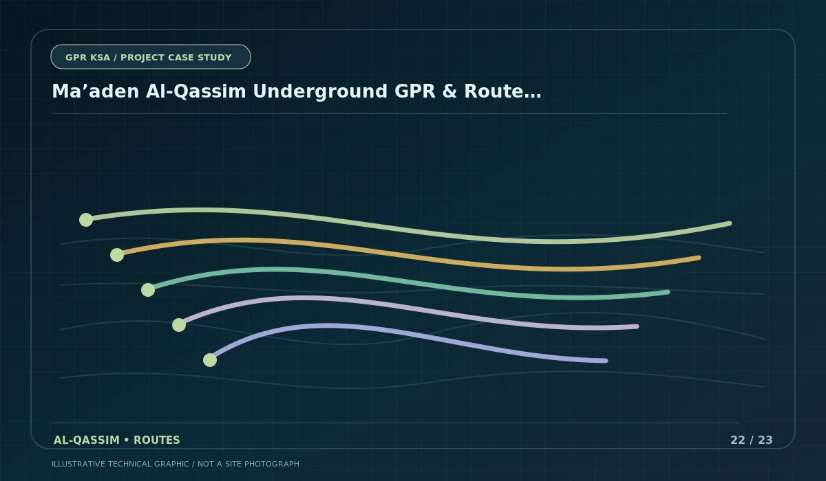
Route-verification work is different from a small-area scan because positional consistency must be maintained over kilometres, across changing surfaces and between multiple route segments. The project covered five routes (R-1 to R-5) with a combined length of approximately 5.55 km.
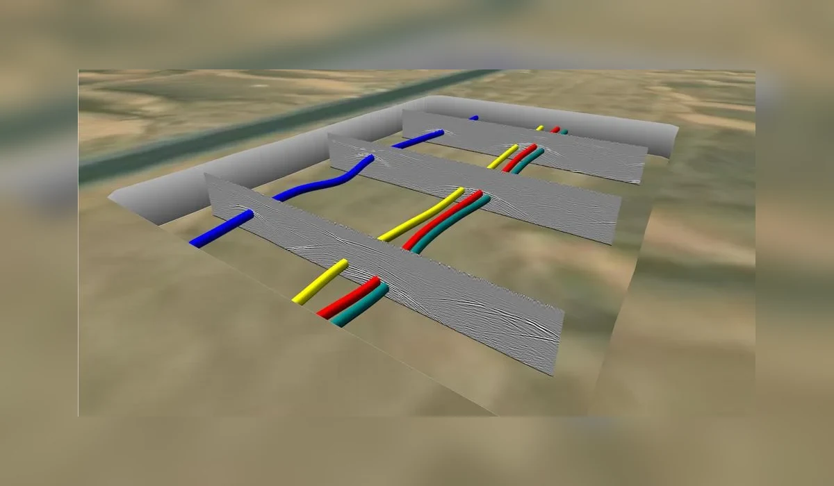
The deliverable also required more than visual detection: interpreted utility information needed to be tied to coordinates and a structured schedule including X, Y, Z and utility type, with calibration records supporting field quality control.
Investigation strategy
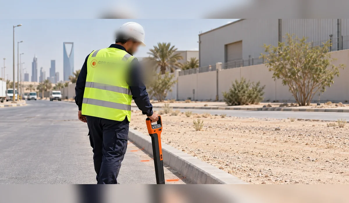
Dual-frequency GPR was combined with electromagnetic locating so that different target conditions could be approached with complementary methods. Survey control / topographic verification was used to position the interpreted features within the route framework.
Calibration and field logs were treated as part of the technical deliverable, not an administrative afterthought. This created a clearer chain from field observation to mapped utility position and tabular engineering data.