Scope and engineering context
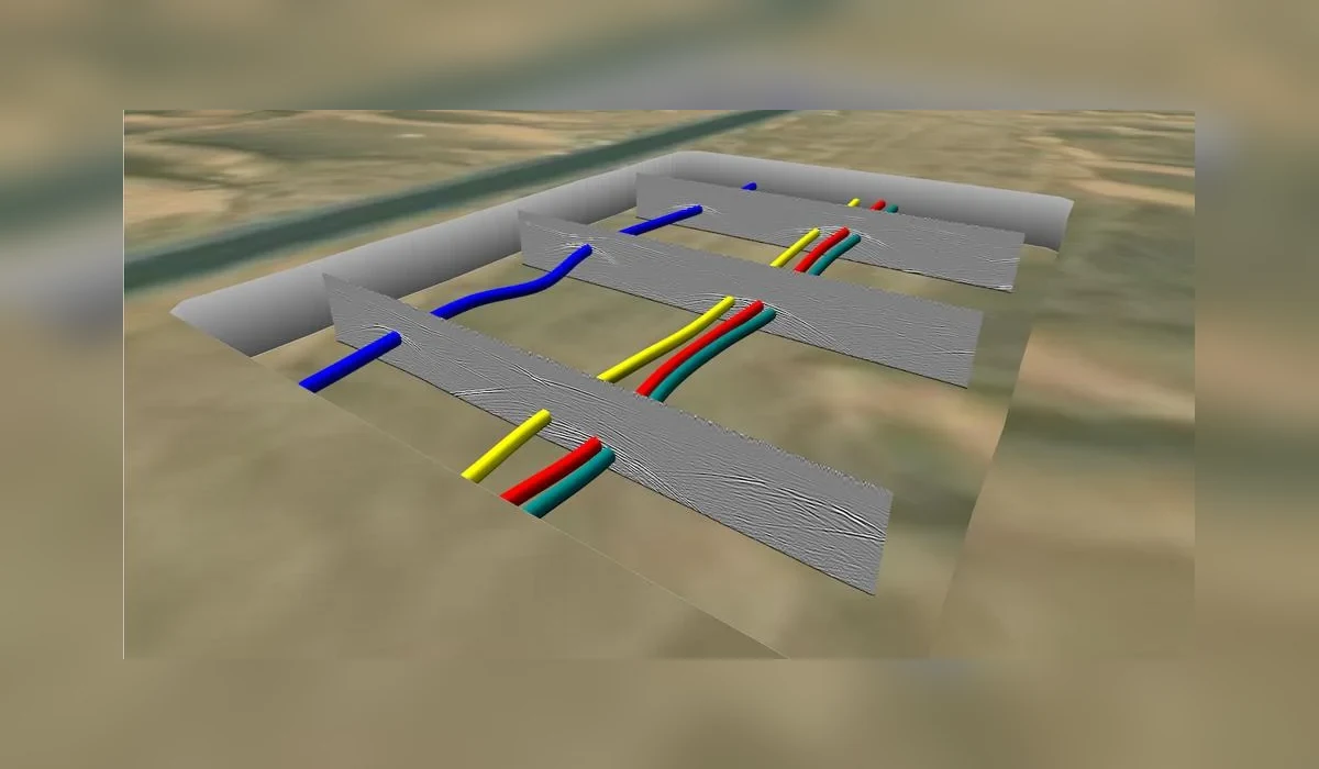
A targeted underground cable-tracing assignment using a radio/electromagnetic locator to help define a buried service route before further site intervention.
Project record
- Route-oriented electromagnetic detection
- Active or passive locator methods where applicable
- Ground marking of interpreted alignment
- Cross-check before intrusive works
How the investigation was approached
- Cable tracing with a radio locator depends on a detectable electromagnetic signal and may require a suitable connection point for active tracing.
- Power-mode detection can indicate energised services but does not independently prove conductor identity, continuity or electrical condition.
- Interpreted alignment markings are planning information and should be verified physically at critical crossings before excavation.
Interpretation and limitations
The assignment illustrates route-confirmation methodology. It should not be interpreted as proof of a cable fault location or electrical diagnosis; those require separate specialist tests.
Geophysical and electromagnetic results are interpretations of measured signals. They do not guarantee every buried utility or void has been detected. Where excavation, drilling or piling is planned, use the issued technical drawings and verify critical targets by controlled exposure or another agreed investigation method.
Deliverables and project decisions
Relevant outputs may include radar data records, mapped observations, anomaly notes, engineering drawings and the agreed final report. The exact contract deliverables are project-specific; this public overview does not replace them.