Site context and engineering objective
Night mobilisation can reduce operational disruption in congested urban areas but also introduces lighting, safety, access and survey-control requirements.
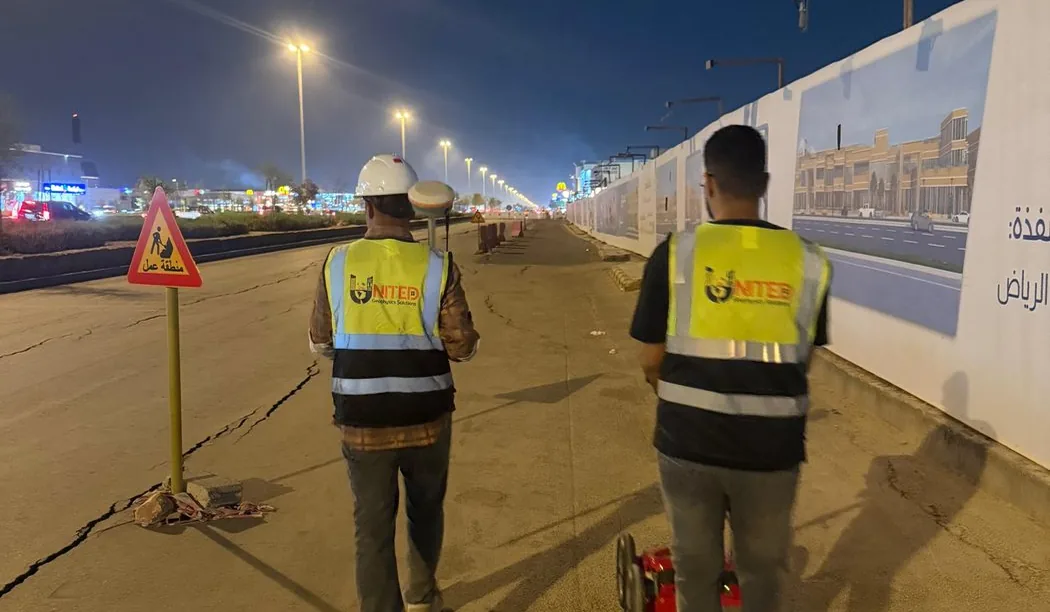
A Riyadh night-work survey reference focused on underground utility-risk review where daytime site access or traffic controls are constrained.
Field approach and interpretation
- Confirm permits, traffic management and adequate lighting before operating radar or electromagnetic locating equipment.
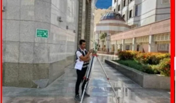
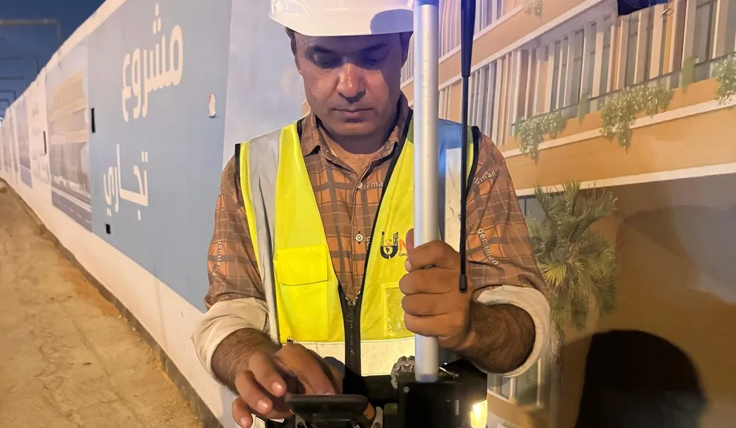
- Establish repeatable survey reference points and record field anomalies with photographs and location notes where permitted.
- Review interpretations during daylight or against available service drawings before handing over excavation advice.
Important limitations
A night shift does not change the geophysical limitations of radar or electromagnetic methods. Poor lighting can affect location control and visible-condition checks unless managed.
The depth and confidence of GPR interpretation vary with soil electrical properties, moisture, surface structure, reinforcement and target geometry. A non-destructive survey cannot guarantee that every buried service or embedded hazard has been found.
How this information supports site decisions
The practical purpose is to reduce uncertainty by identifying interpreted targets and zones that merit checks against records or controlled exposure. The issued technical report, not this public overview, determines the actual workfront, deliverables and verified findings.
Ground penetrating radar surveys · Planning before excavation