Saudi Arabia · Riyadh · Jeddah · Eastern Province · NEOMProject enquiries · Secure request form
Case study · Riyadh

KAFD Tower Underground Utility Survey

A targeted underground utility detection assignment in the KAFD tower environment in Riyadh, focused on reducing construction risk within a dense, high-value urban infrastructure setting.

LocationRiyadh
ServiceUnderground Utility Detection
ScopeTargeted tower work zone
Depth / targetProject-specific
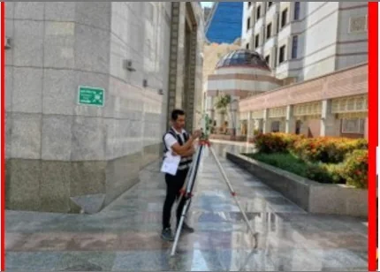
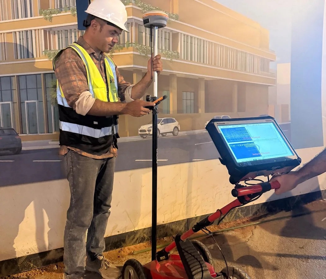
Representative archived survey method image; not necessarily captured at this project
Representative method image from the field archive; not a confirmed image from this project.
Project context

Why this investigation mattered

Tower developments and heavily serviced urban plots can contain closely spaced electrical, communications, drainage, irrigation and building-service infrastructure. In this type of environment, reflections from reinforced surfaces, chambers, ducts and reinstated trenches can overlap with utility responses.

The project therefore required targeted investigation rather than generic scanning. The objective was to identify subsurface risk in the work zone and provide information that could be used during coordination and intrusive planning without overstating certainty in congested areas.

Investigation strategy

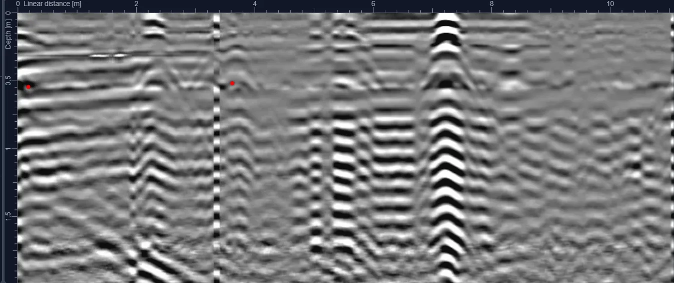
Survey coverage was focused on the active work zone and interpreted in the context of visible site infrastructure. GPR responses were reviewed for repeatable linear behavior, changes in backfill and features consistent with buried services.

The output emphasized usable route information, construction relevance and limitations. Where congestion reduced the ability to isolate one target from another, that uncertainty was treated as a reporting issue rather than hidden.
Field-to-report workflow

How the project information was developed

The workflow is documented so the case study provides engineering context—not just a marketing summary.

  1. 01
    Define the construction work zone and identify the highest-risk intrusive areas.
  2. 02
    Review accessible utility records and visible surface infrastructure.
  3. 03
    Collect targeted GPR coverage across the work zone.
  4. 04
    Interpret linear and utility-scale responses in the context of dense urban services.
  5. 05
    Issue mapped findings and limitations for coordination before intrusive works.

Interpretation and engineering use

In a high-value tower environment, the cost of a utility strike can extend beyond repair to access restrictions, programme delay and disruption to adjacent systems. The survey provided a focused risk layer for construction coordination before intrusive work.

Quality control

  • Target responses reviewed across more than one profile where access allowed.
  • Congested zones treated conservatively where utilities could not be separated confidently.
  • Surface evidence incorporated into the interpretation process.
  • Limitations documented so the drawing was not mistaken for a guaranteed as-built record.

Project deliverables

  • Targeted survey coverage plan.
  • Interpreted utility routes / subsurface features.
  • Depth information where technically supportable.
  • Engineering drawing information.
  • Technical findings and survey limitations.

Technical limitations

Dense urban utility environments can create overlapping radar responses and restricted survey access. Detection confidence varies by material, depth, surface reinforcement and local interference; safe excavation controls remain necessary.

Project FAQ

Questions this case study answers

Where was the project carried out?

The project was undertaken in the KAFD tower environment in Riyadh.

Was this a full city-block survey?

The recorded scope was a targeted tower work zone, not a generic city-wide survey.

Why is utility detection important around towers?

Dense building services and constrained work areas increase the consequence of striking an unknown utility during excavation or drilling.

Plan before you excavate

Need subsurface information for a project?

Send the site location, survey area or route length, target depth and available drawings through the project request form.