Saudi Arabia · Riyadh · Jeddah · Eastern Province · NEOMProject enquiries · Secure request form
Saudi Arabia

Ground Penetrating Radar (GPR)

Non-destructive subsurface imaging for utilities, voids, buried structures and construction risk reduction.

What this service does

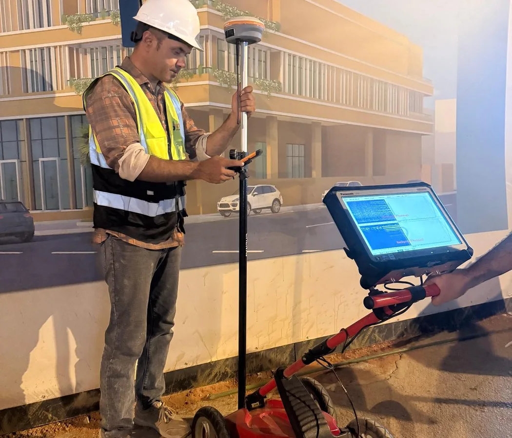
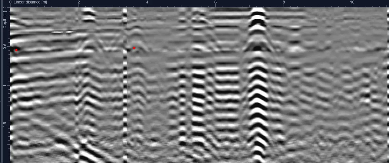
Ground Penetrating Radar surveys use electromagnetic energy to identify changes below the surface without excavation. The technique is especially useful when buried services may be non-metallic, records are incomplete, or project teams need a continuous view of subsurface conditions rather than point confirmation alone.

Common applications

  • Utility detection before excavation
  • Void and anomaly investigation
  • Pre-borehole and piling clearance
  • Road and pavement investigation
  • As-built verification support

Methodology

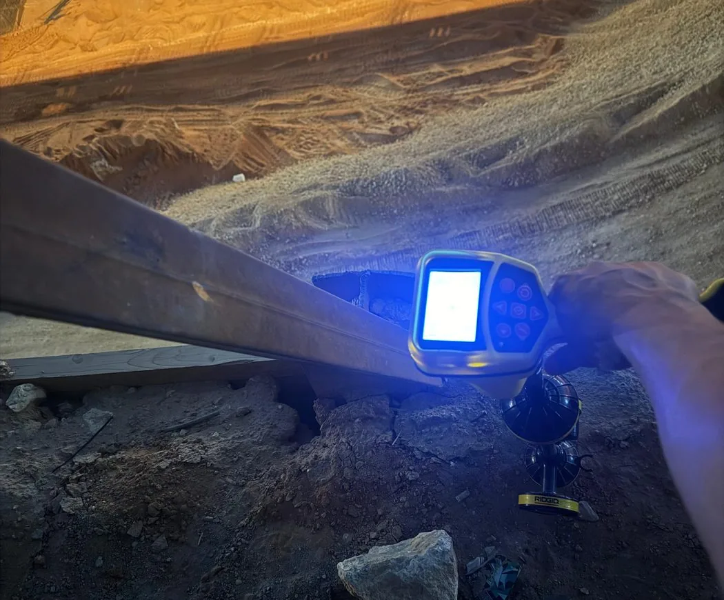
We start by reviewing drawings, target depth, planned intrusive works and access constraints. Field collection is then completed using a survey pattern appropriate to the site, with complementary locating methods used where they improve confidence. Findings are interpreted, positioned and issued in clear engineering deliverables.

Limitations and quality control

GPR performance depends on antenna frequency, target size, soil conductivity, moisture, salinity and site access. Dry sandy ground can be favorable; conductive clay or saline ground may reduce penetration. We therefore plan surveys around actual field performance and combine methods where appropriate.

Typical deliverables

  • Marked-up plans and/or CAD drawings
  • Depth annotations where technically supportable
  • Survey coverage and methodology record
  • Engineering report with findings and limitations
  • GIS-compatible outputs when required
Service FAQ

Questions about Ground Penetrating Radar (GPR)

What is Ground Penetrating Radar (GPR)?

GPR is a non-destructive geophysical method that transmits electromagnetic energy into the ground or a structure and records reflected responses from changes in material properties. It is commonly used to investigate buried utilities, voids, reinforcement and other subsurface features.

How deep can GPR detect in Saudi Arabia?

There is no universal depth. Effective penetration depends on antenna frequency, target size, soil conductivity, moisture, salinity and site conditions. Dry resistive materials may allow greater penetration, while conductive clay or saline ground can reduce it significantly.

Can GPR find plastic or non-metallic pipes?

GPR can detect some non-metallic utilities when there is sufficient contrast between the target, trench backfill and surrounding material. Results depend on diameter, depth, material and ground conditions, so complementary methods and verification are often recommended.

Why combine GPR with electromagnetic locating?

Electromagnetic locating is effective for many conductive or traceable utilities while GPR can provide evidence of both metallic and non-metallic features. Combining methods reduces dependence on a single detection technique and improves interpretation confidence.

Can GPR provide exact utility depth?

Depth is an estimate derived from the measured response and assumed or calibrated radar-wave velocity. Where depth is critical, it should be verified using appropriate physical exposure, trial pits or other project-approved methods.

Does a utility survey guarantee that nothing is buried?

No non-intrusive survey can guarantee detection of every buried object. Detection is affected by access, depth, target properties, interference and ground conditions. Reports should therefore state limitations and recommend verification where consequences are high.

Plan before you excavate

Need subsurface information for a project?

Send the site location, survey area or route length, target depth and available drawings through the project request form.