Site context and engineering objective
Test-cell settings often contain tightly planned work areas and buried engineering features that may not appear reliably in available drawings. A sector-by-sector survey makes the workfront easier to mark and review with the construction team.
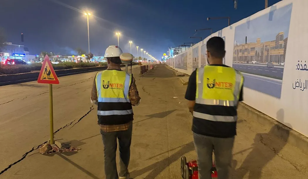
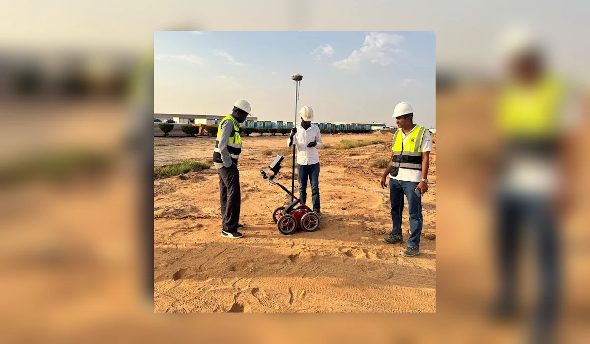
Targeted ground penetrating radar investigation for a controlled test-cell workfront in Al Kharj, with staged sector planning before intrusive work.
Field approach and interpretation
- Confirm sector boundaries and compare available drawings with visible service features before choosing radar traverse lines.
- Acquire systematic GPR traverses along accessible surfaces, adjust antenna settings for site conditions and log positions of relevant responses.
- Interpret repeatable radar signatures, note uncertainties and prepare field markings or plan references for the site team.
Important limitations
Radar responses alone do not prove utility ownership, service status or a safe excavation clearance. Test-cell structures and reinforced surfaces may obscure deeper signals.
The depth and confidence of GPR interpretation vary with soil electrical properties, moisture, surface structure, reinforcement and target geometry. A non-destructive survey cannot guarantee that every buried service or embedded hazard has been found.
How this information supports site decisions
The practical purpose is to reduce uncertainty by identifying interpreted targets and zones that merit checks against records or controlled exposure. The issued technical report, not this public overview, determines the actual workfront, deliverables and verified findings.
Ground penetrating radar surveys · Planning before excavation