Site context and engineering objective
Operational industrial sites require survey activities to respect plant access controls, safety arrangements and the possibility of undocumented cable or pipe crossings.
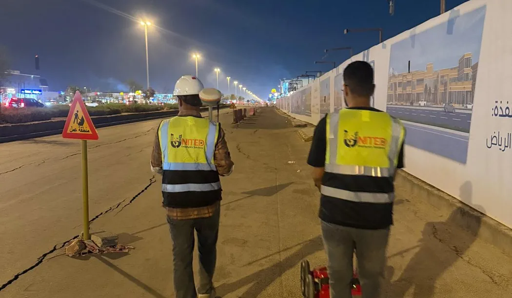
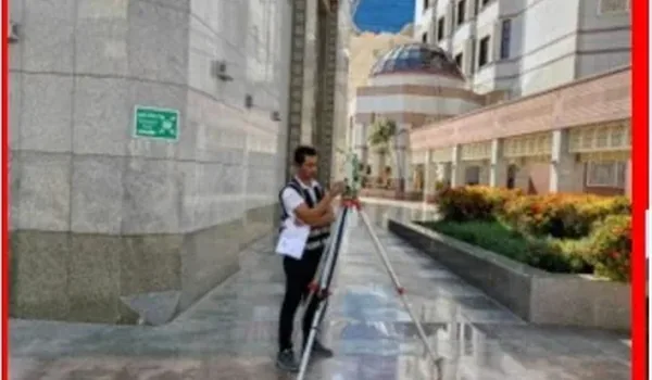
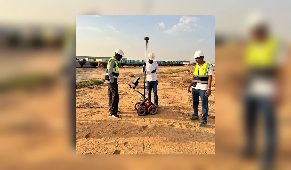
An industrial-site subsurface survey reference at Al Kharj focused on mapping suspected buried services and anomalies for workfront decisions.
Field approach and interpretation
- Coordinate permits and work boundaries with facility representatives, including restricted areas and existing service plans.
- Use repeated survey lines along intended work corridors and collect observations needed for interpreting anomalies.
- Prepare a technical interpretation and identify service routes that should be checked with records or controlled exposure.
Important limitations
Interpreted radar signatures are not an electrical isolation test and cannot certify that no buried service exists. Claims about precise assets are reserved for the approved field report.
The depth and confidence of GPR interpretation vary with soil electrical properties, moisture, surface structure, reinforcement and target geometry. A non-destructive survey cannot guarantee that every buried service or embedded hazard has been found.
How this information supports site decisions
The practical purpose is to reduce uncertainty by identifying interpreted targets and zones that merit checks against records or controlled exposure. The issued technical report, not this public overview, determines the actual workfront, deliverables and verified findings.
Ground penetrating radar surveys · Planning before excavation