Why this investigation mattered
The project was unusual because the target was not simply a shallow utility route. Concealed manholes and associated structures had to be investigated in a remote corridor, and the wider engineering context included depths far beyond what should be casually presented as routine GPR penetration.
A single-method approach would have created too much uncertainty. The investigation therefore relied on a combination of evidence, with geophysical methods used to narrow targets and intrusive verification used where the project needed stronger confirmation.
Investigation strategy
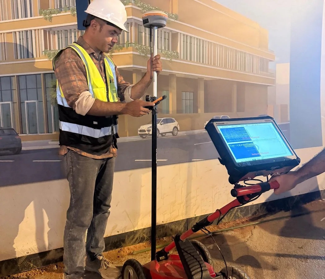
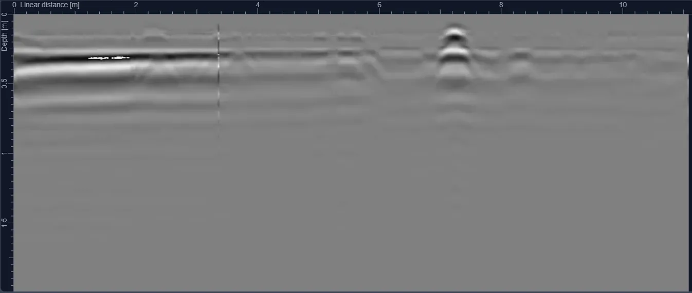
The investigation was staged. Surface evidence, known corridor geometry and available records were used to establish target zones. Geophysical methods, including seismic investigation where appropriate, were then used to assess subsurface changes and potential concealed infrastructure.
Boreholes and trial pits provided intrusive verification where required. This combination allowed the project to distinguish between a geophysical indication and a confirmed physical feature, which is especially important in remote work where unnecessary excavation carries significant cost.