Scope and engineering context
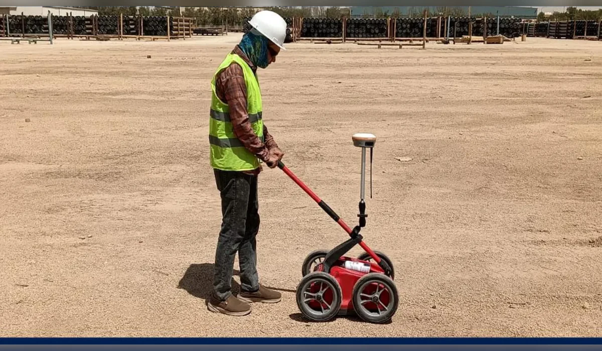
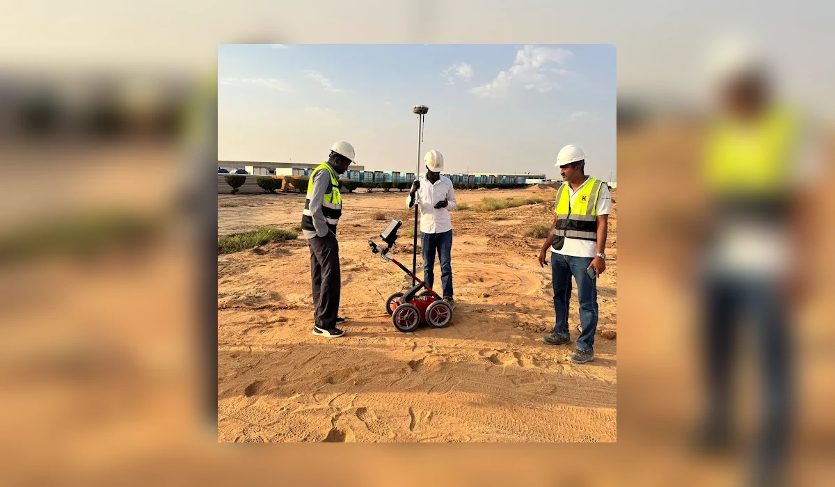
A GPR survey carried out in a remote Hafr Al Batin field setting, with particular attention to access, antenna coupling, surface conditions and interpretation limits.
Project record
- Remote mobilisation requirements
- Ground suitability review
- Systematic GPR traverses
- Subsurface anomaly interpretation
How the investigation was approached
- Remote field programmes should confirm access, survey paths and equipment support before mobilisation.
- Surface roughness, moisture, material composition and antenna-ground contact can affect the signal-to-noise ratio of acquired radar profiles.
- Interpretations should differentiate repeatable targets from isolated responses and identify zones requiring supplementary tests.
Interpretation and limitations
The work demonstrates the field methodology used in remote Saudi conditions. The available public project record does not substantiate a fixed depth, mapped utility count or area, so these are not asserted.
Geophysical and electromagnetic results are interpretations of measured signals. They do not guarantee every buried utility or void has been detected. Where excavation, drilling or piling is planned, use the issued technical drawings and verify critical targets by controlled exposure or another agreed investigation method.
Deliverables and project decisions
Relevant outputs may include radar data records, mapped observations, anomaly notes, engineering drawings and the agreed final report. The exact contract deliverables are project-specific; this public overview does not replace them.