Site context and engineering objective
Dense structural reinforcement and potential post-tension systems make uninformed coring, anchor drilling or cutting particularly risky in complex buildings.
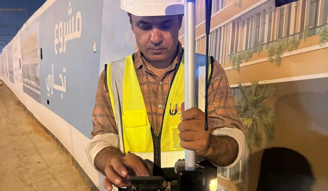
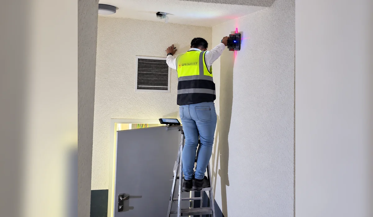
Targeted high-frequency concrete scanning and reinforcement-location reference for work areas within a KAFD building environment.
Field approach and interpretation
- Confirm the element type, proposed drill/cut locations and access to both faces of the structural member where possible.
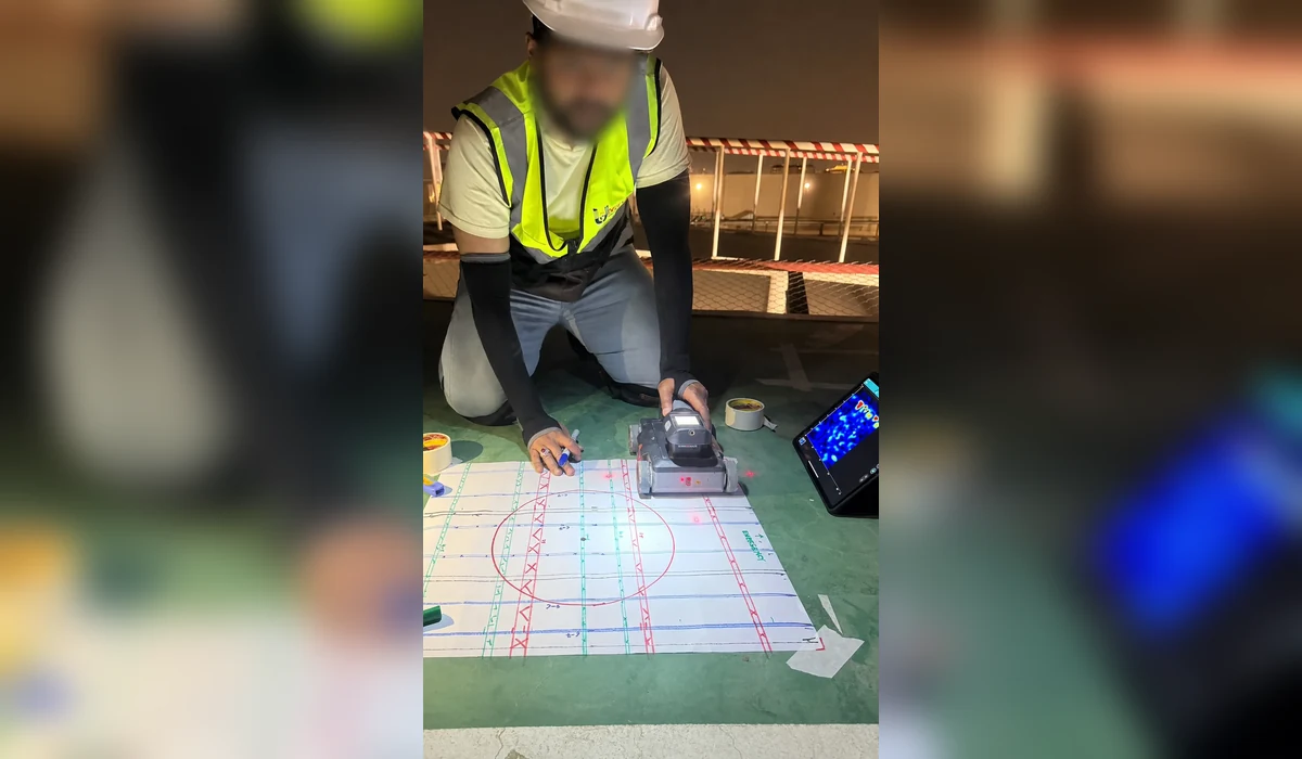
- Run high-frequency concrete-scanning passes in multiple directions, marking likely reinforcement and embedded features on the surface.
- Deliver scanning notes or annotated locations with clear no-go/verification guidance before intrusive work.
Important limitations
GPR may identify embedded responses, but it cannot guarantee every conduit or PT tendon; engineering review and physical verification remain essential for critical penetrations.
The depth and confidence of GPR interpretation vary with soil electrical properties, moisture, surface structure, reinforcement and target geometry. A non-destructive survey cannot guarantee that every buried service or embedded hazard has been found.
How this information supports site decisions
The practical purpose is to reduce uncertainty by identifying interpreted targets and zones that merit checks against records or controlled exposure. The issued technical report, not this public overview, determines the actual workfront, deliverables and verified findings.
Ground penetrating radar surveys · Planning before excavation