A comparison of GPR and electromagnetic locating for buried utilities, with guidance on when a combined approach reduces excavation risk.
Key principle: The right investigation is the one that reduces uncertainty around a defined engineering decision. GPR and other methods should be selected and reported with their limitations, not marketed as universal detection tools.
Electromagnetic locating
EM locators trace conductive utilities directly or through an applied signal when connection or induction is possible. They are efficient for many power, telecom and metallic pipeline targets.
Ground penetrating radar
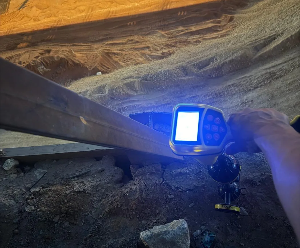
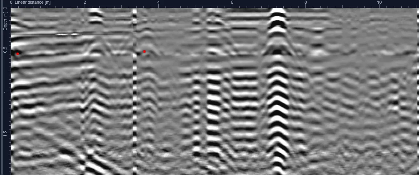
GPR responds to subsurface contrasts and can provide evidence of metallic and non-metallic targets. It can also show trench interfaces and other anomalies, but interpretation is more dependent on ground conditions.
Why one method can miss a target
A non-metallic pipe may not be traceable electromagnetically. A deep target in conductive soil may be difficult for GPR. Combining methods allows one dataset to challenge and support the other.
A practical workflow
Review records and surface features, sweep with EM where appropriate, collect GPR coverage over the work zone, reconcile responses and then survey the interpreted routes. Escalate uncertain or critical conflicts for verification.
Report uncertainty
A professional utility plan should distinguish interpreted routes, known records, confidence and limitations rather than presenting every line with the same certainty.
Plan the survey around the decision
Before mobilization, define the site limits, required outputs and what will happen after the survey. If an interpreted feature could change an excavation, drilling or design decision, agree in advance how that feature will be verified. This creates a defensible workflow and avoids treating a geophysical interpretation as absolute proof.