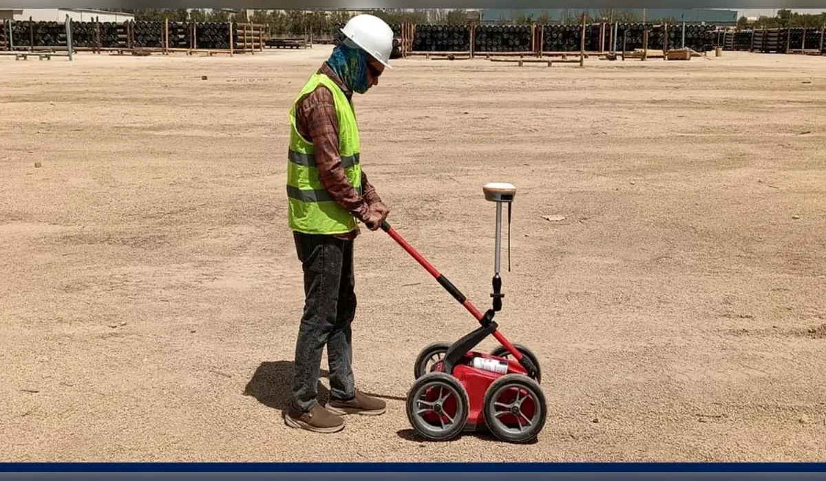
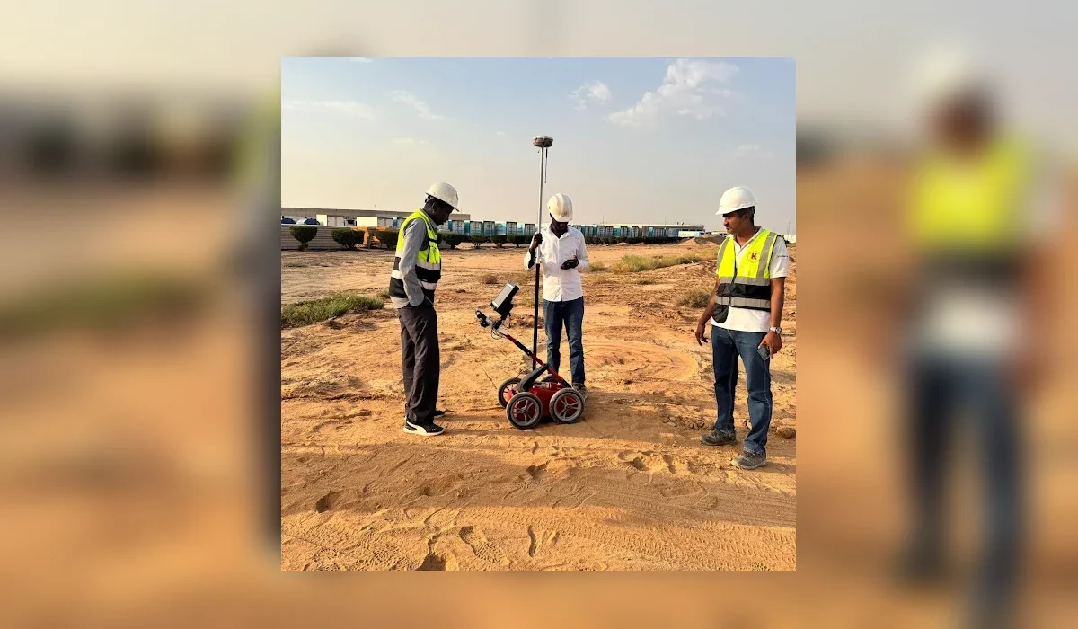
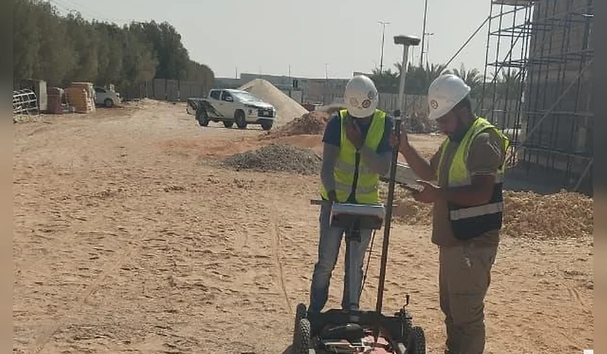
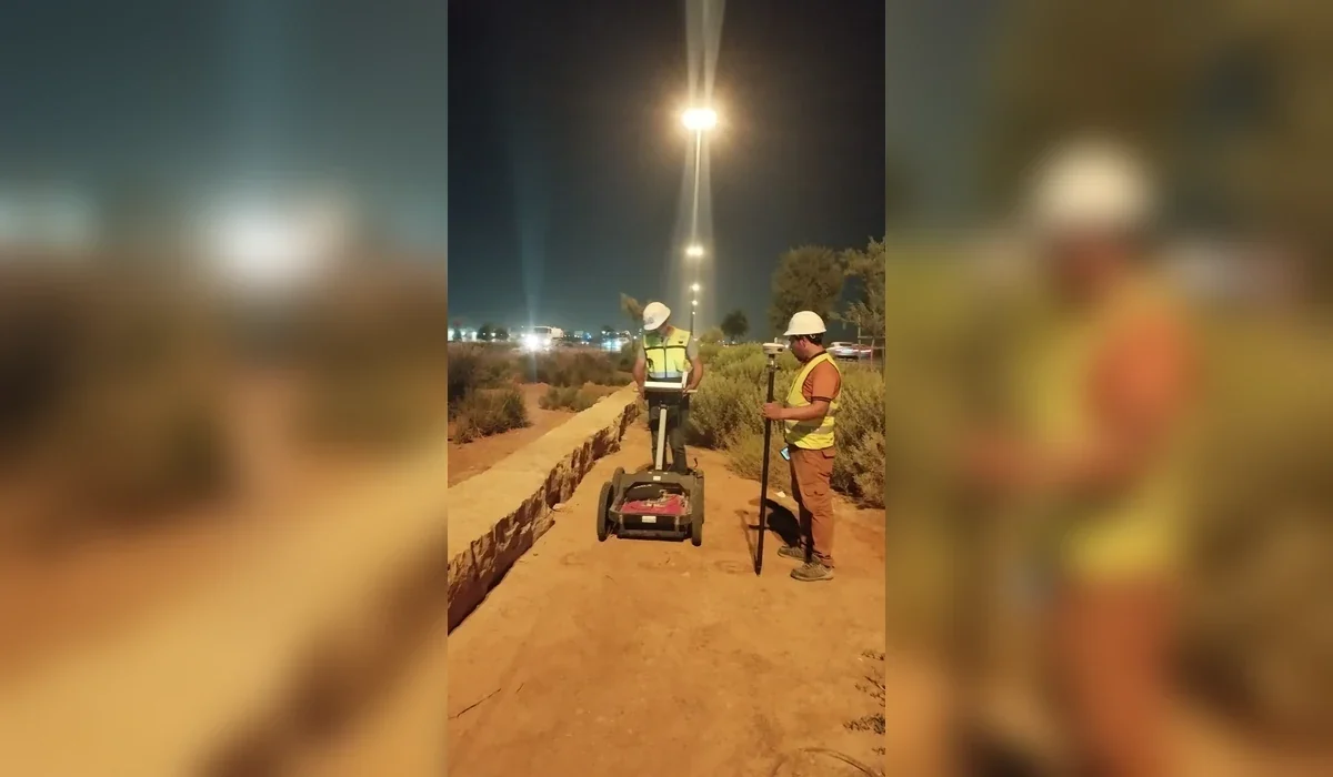
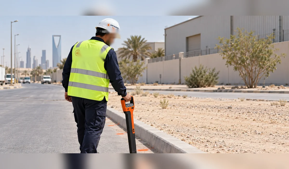
How to plan a GPR survey in Saudi Arabia, select methods, define deliverables and understand limitations before excavation, drilling or infrastructure works.
Key principle: The right investigation is the one that reduces uncertainty around a defined engineering decision. GPR and other methods should be selected and reported with their limitations, not marketed as universal detection tools.
What a GPR survey actually answers
A useful GPR survey is not simply a pass with an instrument. It begins with an engineering question: what must be found, what work follows the survey, what depth matters and what level of uncertainty is acceptable. The field pattern, antenna selection and complementary methods should be chosen around that question.
Where GPR is useful
Common applications include underground utility detection, route clearance before HDD, anomaly and void investigation, pre-borehole clearance and concrete scanning. GPR is particularly valuable where records are incomplete or where non-metallic features may not respond to electromagnetic locating.
Saudi ground conditions matter
Performance varies considerably across the Kingdom. Dry resistive materials can favour radar penetration, while clay, salinity, moisture and reinforced surfaces can attenuate the signal. Any proposal that promises the same depth on every site should be treated cautiously.
What a strong scope should include
Define the survey area or route length, target depth, planned intrusive works, expected utilities, access restrictions, coordinate system and required deliverables. Where utility depth is safety-critical, include a verification strategy rather than relying on geophysical interpretation alone.
Deliverables for engineering teams
A practical package may include field markings, CAD mapping, GIS-compatible data, survey coverage, depth annotations where supportable and a report explaining methodology, findings and limitations. The purpose is to support decisions, not create false certainty.
Plan the survey around the decision
Before mobilization, define the site limits, required outputs and what will happen after the survey. If an interpreted feature could change an excavation, drilling or design decision, agree in advance how that feature will be verified. This creates a defensible workflow and avoids treating a geophysical interpretation as absolute proof.