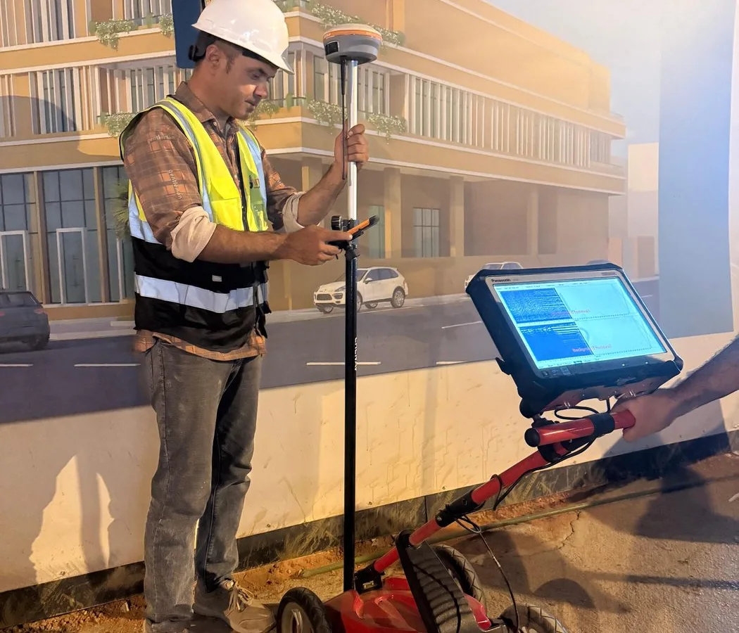
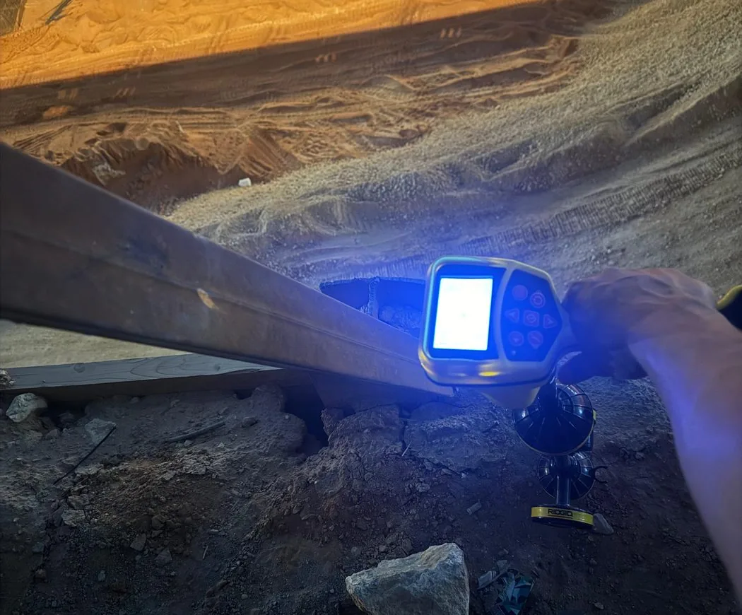
The main technical and logistical factors that influence GPR survey pricing in Saudi Arabia, from survey area and depth to access, deliverables and mobilization.
Key principle: The right investigation is the one that reduces uncertainty around a defined engineering decision. GPR and other methods should be selected and reported with their limitations, not marketed as universal detection tools.
Area and survey density
A 1,000 m² site with a tight grid is not equivalent to the same area scanned only along selected corridors. Line spacing, cross-lines and the number of target zones determine field effort.
Depth objective and equipment
Deeper objectives may require different antennas, slower acquisition or complementary methods. Concrete scanning uses a different workflow from large-area utility mapping.
Site access and mobilization
Remote locations, permits, night work, restricted access and repeated mobilization can materially affect cost even when the scan area is small.
Survey control and deliverables
Basic paint marking differs from survey-controlled CAD, GIS, X/Y/Z schedules and technical reporting. The required coordinate system and drafting standard should be agreed before pricing.
Best way to request a price
Provide the location, area or route length, planned works, target depth, utility types, available drawings and required deliverables. A clear scope produces a more useful commercial offer and reduces variation later.
Plan the survey around the decision
Before mobilization, define the site limits, required outputs and what will happen after the survey. If an interpreted feature could change an excavation, drilling or design decision, agree in advance how that feature will be verified. This creates a defensible workflow and avoids treating a geophysical interpretation as absolute proof.