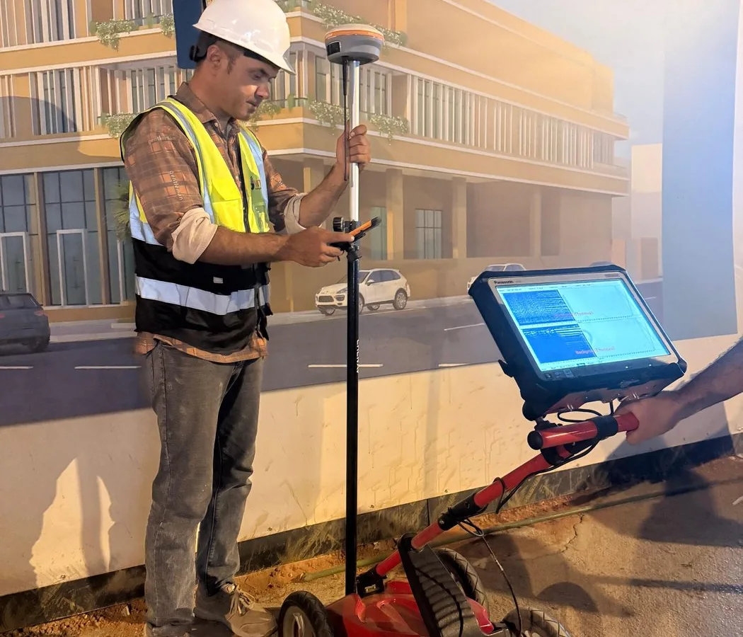
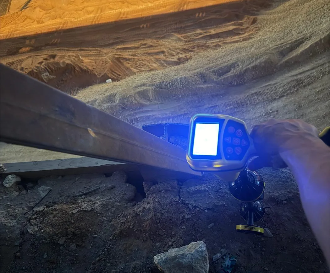
Why GPR depth varies with Saudi soil conditions, antenna frequency, target size, moisture and salinity—and how to set realistic project expectations.
Key principle: The right investigation is the one that reduces uncertainty around a defined engineering decision. GPR and other methods should be selected and reported with their limitations, not marketed as universal detection tools.
There is no single GPR depth
Statements such as “GPR always reaches five metres” are technically weak. Penetration is controlled by the electromagnetic properties of the ground, antenna frequency, target contrast and noise environment.
Favourable and difficult conditions
Dry resistive sand or rock may permit useful penetration. Clay-rich, saline or wet materials can strongly attenuate radar energy. Reinforced slabs and congested surfaces can also limit visibility below the first strong reflectors.
Target size changes the answer
A large pipe or void may be detectable deeper than a small cable in the same ground. Survey spacing, antenna orientation and processing choices also influence whether a target response is recognizable.
Calibration and verification
Where depth matters, velocity estimation should be calibrated when possible using a known feature or other suitable method. Critical utility depth should be verified physically when the consequence of error is high.
Specify an investigation objective
A professional scope should state the desired investigation depth but also recognize that actual penetration will be confirmed by field performance and reported with limitations.
Plan the survey around the decision
Before mobilization, define the site limits, required outputs and what will happen after the survey. If an interpreted feature could change an excavation, drilling or design decision, agree in advance how that feature will be verified. This creates a defensible workflow and avoids treating a geophysical interpretation as absolute proof.