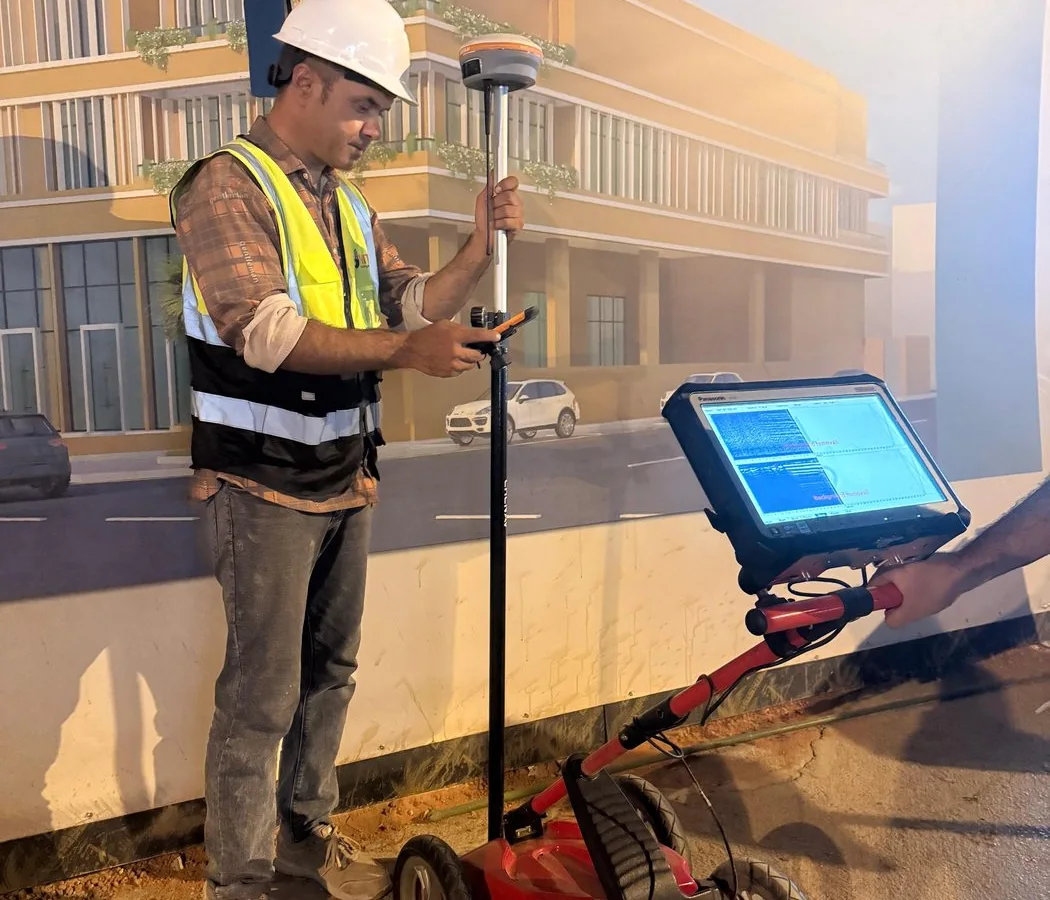
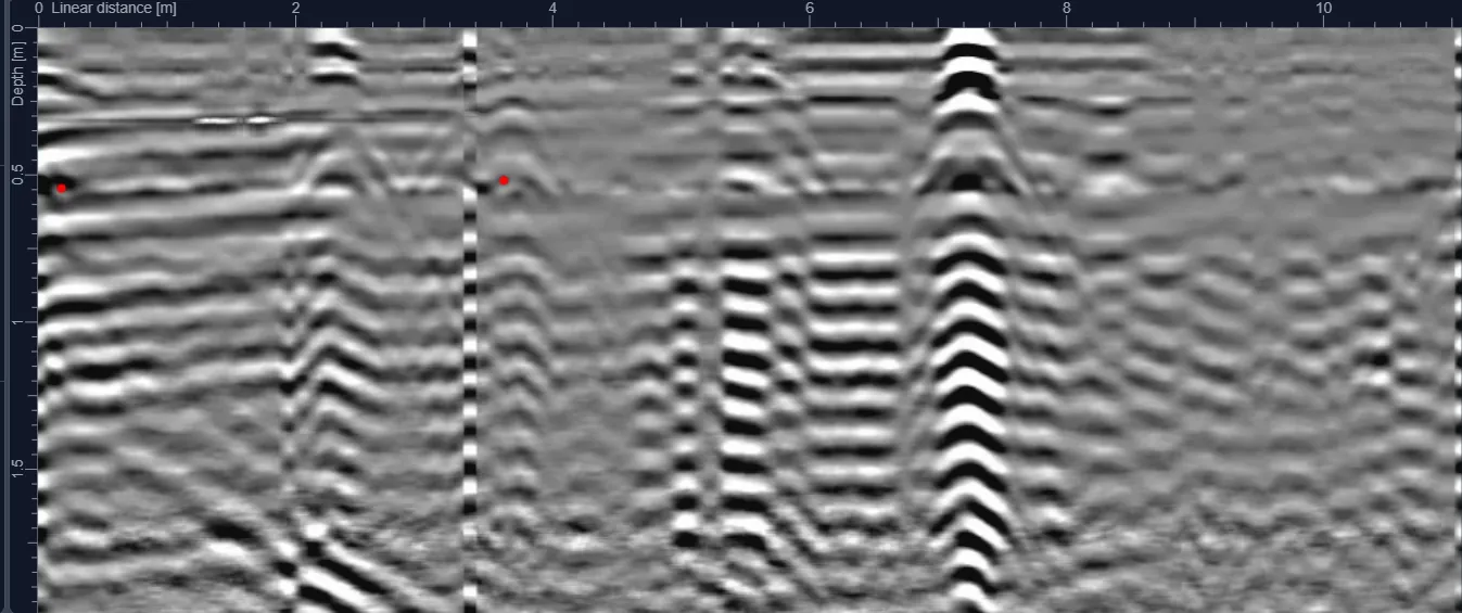
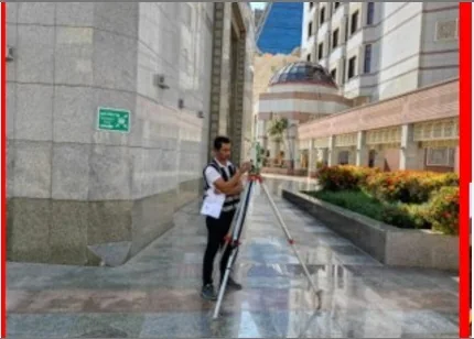
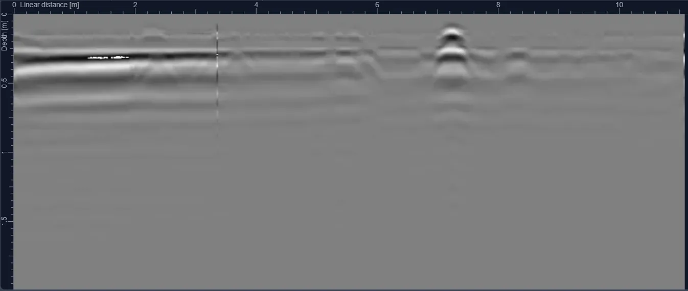
How a SUE-style workflow combines records, field detection, survey control and physical verification to improve confidence in underground utility information.
Key principle: The right investigation is the one that reduces uncertainty around a defined engineering decision. GPR and other methods should be selected and reported with their limitations, not marketed as universal detection tools.
SUE is a process, not a single instrument
A structured utility-engineering workflow progressively improves the quality of information. Existing records, site reconnaissance, geophysical detection, survey control and physical exposure each answer a different part of the problem.
Start with records and visible evidence
Utility drawings, chambers, valves, cabinets, poles and previous as-builts help form hypotheses about routes. Records should be treated as evidence, not automatically as precise surveyed positions.
Add geophysical detection
GPR and electromagnetic locating provide current field evidence. The methods should be selected according to utility type, material, expected depth and ground conditions.
Position the findings
Where coordination is required, detected routes should be surveyed into the project coordinate system and issued in CAD or GIS-compatible formats with notes on confidence and limitations.
Verify critical conflicts
When the consequence of error is high, targeted physical verification provides stronger confirmation of position and depth. Verification should be planned where it changes a construction decision.
Plan the survey around the decision
Before mobilization, define the site limits, required outputs and what will happen after the survey. If an interpreted feature could change an excavation, drilling or design decision, agree in advance how that feature will be verified. This creates a defensible workflow and avoids treating a geophysical interpretation as absolute proof.