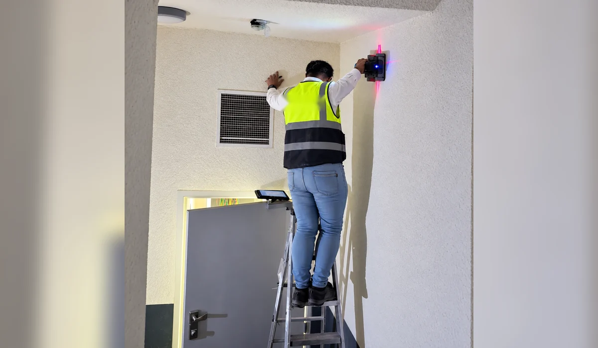
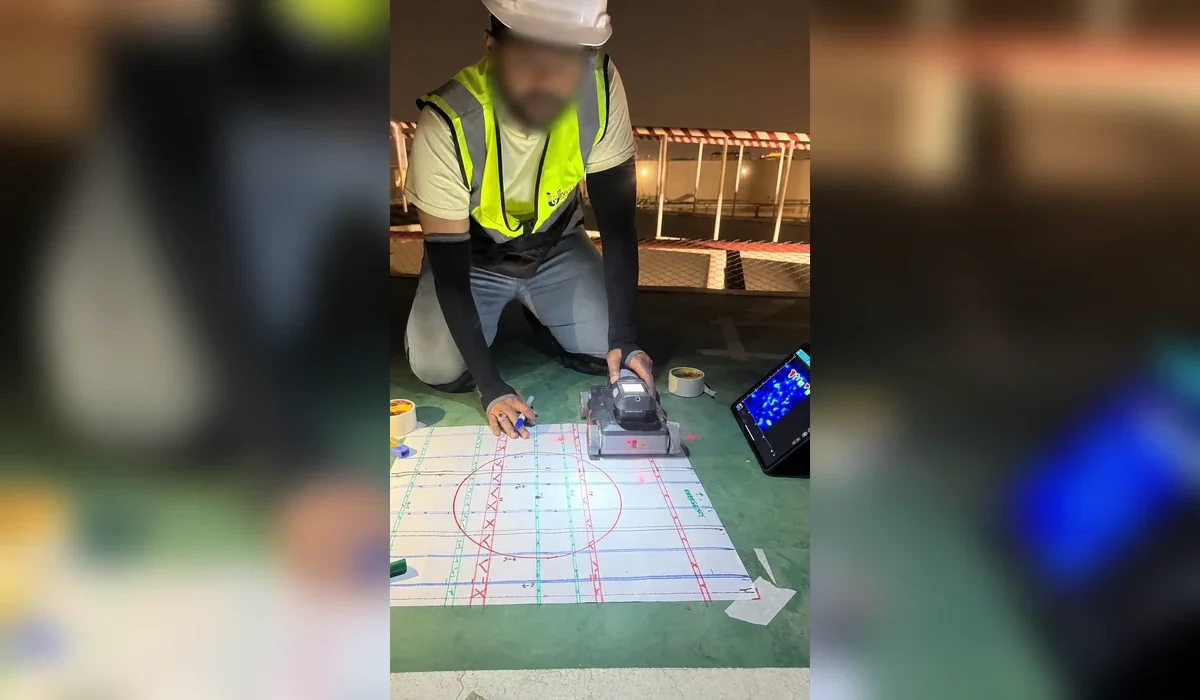
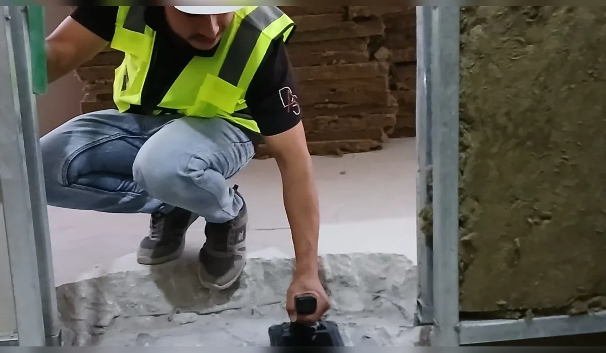
A technical guide to GPR concrete scanning for rebar, post-tension systems and embedded-service clearance before coring, drilling and cutting.
Key principle: The right investigation is the one that reduces uncertainty around a defined engineering decision. GPR and other methods should be selected and reported with their limitations, not marketed as universal detection tools.
Why scan concrete before intrusive work
Coring or drilling can intersect reinforcement, conduits or post-tension components that are not visible from the surface. High-frequency GPR provides a non-destructive way to map reflectors and select lower-risk locations before intrusive work begins.
What can be detected
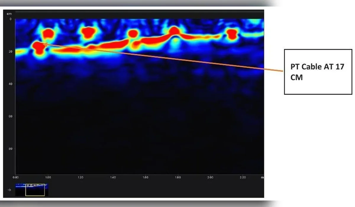
Depending on the element and access, scanning can indicate rebar patterns, embedded conduits, slab features and potential post-tension components. Dense reinforcement can mask deeper targets, so results should be interpreted conservatively.
A practical field workflow
Review the requested core location, scan beyond the immediate drilling point, collect orthogonal passes where possible, mark interpreted features on the surface and retain a record of the scanned zone. The final core location should follow the project permit and engineering approval process.
Limits that matter
Single-sided access, thick elements, closely spaced reinforcement, metallic finishes and restricted scan areas can reduce confidence. GPR should not be presented as a guarantee that every embedded object has been detected.
Reporting and traceability
For controlled projects, retain photographs, scan orientation, marked-up plans and notes describing the equipment, access and limitations. This makes the clearance process easier to review later.
Plan the survey around the decision
Before mobilization, define the site limits, required outputs and what will happen after the survey. If an interpreted feature could change an excavation, drilling or design decision, agree in advance how that feature will be verified. This creates a defensible workflow and avoids treating a geophysical interpretation as absolute proof.