A project-focused guide to desk study, boreholes, field tests, laboratory testing and geotechnical reporting for Saudi construction and infrastructure.
Key principle: The right investigation is the one that reduces uncertainty around a defined engineering decision. GPR and other methods should be selected and reported with their limitations, not marketed as universal detection tools.
Define the engineering decisions
A geotechnical investigation should be designed around the proposed works: foundations, retaining structures, roads, utilities, excavations or ground improvement. Generic drilling quantities are less useful than a program tied to actual design questions.
Desk study and site walkover
Existing geology, previous reports, utility information, grading history and visible site conditions help refine the field program. This stage can also identify access and safety constraints.
Intrusive investigation
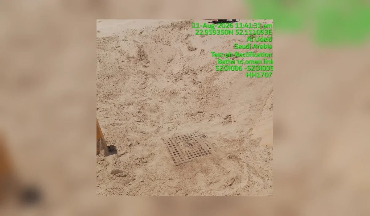
Boreholes, trial pits and in-situ tests provide direct information about the ground. Sampling quality and accurate logging are essential because laboratory results are only as representative as the recovered material.
Geophysics as a complement
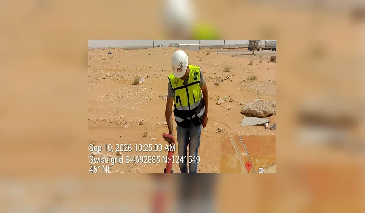
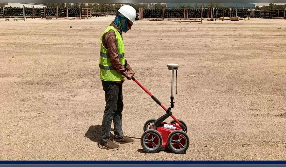
Geophysical methods can help extend understanding between boreholes, locate anomalies or support utility clearance. They do not replace direct investigation where design parameters require physical samples or in-situ measurements.
Reporting
A useful report distinguishes observations from interpretation, describes variability and limitations, and provides the engineering information needed by the designer rather than only presenting raw test results.
Plan the survey around the decision
Before mobilization, define the site limits, required outputs and what will happen after the survey. If an interpreted feature could change an excavation, drilling or design decision, agree in advance how that feature will be verified. This creates a defensible workflow and avoids treating a geophysical interpretation as absolute proof.